Concrete Calendar 2022 - Digitale Condition Survey (EN)
- Feb 7, 2022
- 3 min read
Updated: Feb 19, 2022
Wien, February 2022:
Digital condition survey and assessment of buildings, infrastructure, and natural hazards:

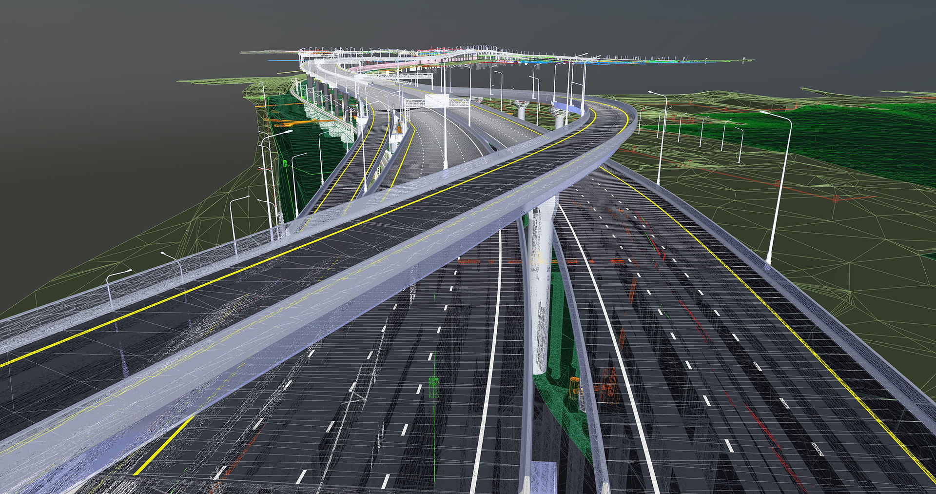
The condition assessment of buildings, infrastructure structures, and natural hazards is undergoing a disruptive evolution through digital condition surveys and assessment. With high-performance drones and sensors, images and videos of existing structures can be recorded and 3D models beyond simplified CAD-BIM models developed. Photogrammetry, laser scanning, thermography, and hyperspectral analysis open up new perspectives for surveys and assessment of the structural condition. Processing the data with algorithms for evaluating the images and modeling highly accurate digital twins are further steps towards identifying the condition and quantifying structural damage during service life. In combination with artificial intelligence, it is already possible to carry out (partially) automated digital surveys and evaluations of changes. By means of examples, the applicability of such digital methods is demonstrated providing valuable practical recommendations as well as insights into current technical limits. Furthermore, current trends and needs for research into efficient and effective integration of the results in an Asset Management Cycle are shown.
Publication (German):
Bergmeister, K. & Strauss, A. & Hoffmann, M. (12/2021); Digitale Zustandserfassung von Gebäuden, Infrastrukturbauwerken und Naturgefahren; in Beton-Kalender 2022 Schwerpunkte: Instandsetzung, Beton und Digitalisierung; Ernst & Sohn Verlag ISBN: 9783433610855; https://doi.org/10.1002/9783433610879.ch8
Overview contents Chapter VIII:
Essential contents of the book chapter were developed within the framework of the FFG research project RISKMON being comprehensively revised and systematically supplemented for publication in the Concrete Calendar 2022.
1 Introduction 535
2 Current State of Art 536
2.1 Acoustic emission method 536
2.2 Pulse echo 537
2.3 Radar 537
2.4 Georadar 538
2.5 Infrared methods 540
2.6 Electromagnetic methods 540
2.7 Laser scan 541
2.8 LiDAR 541
2.9 Infrared camera 541
2.10 Hyperspectral camera 543
2.11 Sensors for drones 545
2.12 Sensors for navigation 545
2.13 Digital image acquisition with drones
and sensors 546
2.14 Radar interferometry 550
2.15 Overview of digital state using drones 551
2.16 Digital condition assessment methods
for structures and natural hazards 554
2.17 Automated damage detection 555
3 Data management in digital
condition survey 556
3.1 Introduction 556
3.2 Data formats 558
3.3 Digital acquisition with drones 559
3.3.1 Acquisition 559
3.3.2 Flight planning 559
3.3.3 Photogrammetric Acquisition 561
3.3.4 Laser scanning 561
3.3.5 Other acquisition methods 562
3.4 Processing the data 563
3.5 Visualisation of the results 563
3.6 Data analysis and processing 567
3.7 Georeferencing 570
3.8 Tiles, clipping and layering 570
3.9 Point cloud, tin, mesh, 3D objects,
texture 571
3.10 Filtering, Editing and Visualisation 571
3.11 Database concept 572
3.12 Life cycle management on a
digital basis 573
4 Examples of Digital Condition
recording of the condition of buildings 575
4.1 Concept of a condition survey 575
4.2 As-built condition of a building 576
4.3 Digital condition survey of an arched
arch bridge 580
4.4 Data evaluation using the example of
protective structures 584
4.5 Condition analysis with digital, mobile
methods 588
5 Digital condition assessment of
natural hazards 592
5.1 Introduction 592
5.2 Conception of a condition survey 593
5.3 Operational planning and safety precautions for a mudflow 594
5.4 Operational planning and safety precautions for avalanche blasting 595
5.5 Data evaluation UAS 596
5.5.1 Debris flows 596
5.5.2 Snow condition assessment 599
5.6 Recommendations 603
6 Summary and outlook 604
7 Literature 604
Selected contents:


Results and Outlook
Digital condition surveys and assessments of buildings, infrastructure structures, and natural hazards are an essential step towards the highly accurate, quantifiable, and repeatable recording of all damage characteristics by extent and severity on the digital twin. In holistic asset management, however, digitalization is only the first step on the way to better decisions. Essential building blocks for this are the condition forecast, the modeling of the effect of measures and costs as well as optimization in the life cycle. Furthermore, decisions on the entirety of the structures must be made within the framework of the budget and implemented in the form of a construction program. The conditions, costs, and benchmarks resulting from implementation and acceptance then form the basis for these very decisions. In this sense, digital condition surveys are not an end in itself, but ideally the basis for better decisions throughout the entire life cycle.
Our special thanks go to the project partners ASFINAG, ÖBB-INFRA, BMK, FFG, BOKU, and BLADESCAPE for the cooperation and the possibility to implement the ideas, concepts, and methods on the high-level transport infrastructure of rail and road. Furthermore, we would like to thank the publishers Ernst & Sohn and Wiley for their excellent support in editing and publishing the Concrete Calendar 2022.


Thanks for information <a href="https://bif.telkomuniversity.ac.id/skala-likert-definisi-fungsi-dan-panduan-lengkap/">Kehidupan Kampus</a>